
About this Template
What it is
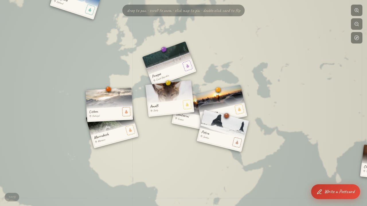
An interactive world map application that pins travel postcards from 12 global cities onto a zoomable, draggable Mercator canvas, featuring 3D tilt effects, flip-to-reveal quotes, immersive city journals, and a user postcard composer.
Why it works
The skeuomorphic postcard-and-pin metaphor makes geo-located storytelling feel personal and tangible, while GSAP-driven physics and tilt effects reward curiosity with satisfying micro-interactions at every click.
Best-fit use cases
Travel bloggers, tourism brands, and creative studios who want an immersive narrative format that goes far beyond a typical photo gallery or embedded map.
Customization ideas
Swap city photos and journal content for your own destinations, rebrand pin colors to match your palette, or extend the map with custom tile layers and additional postcard categories.
How to use it
Clone the project, replace the city data and imagery with your own travel content, and deploy — the map interactions, card animations, and postcard composer work out of the box.
- GSAP-powered 3D tilt, flip, and physics-based card animations
- Mercator-projected zoomable/draggable canvas with OpenStreetMap tiles
- Per-card immersive journal overlay with photo gallery and travel tips
- User postcard composer with click-to-pin geo-placement on the map
- Skeuomorphic paper textures and handwriting web fonts for tactile feel
Ideal if you want to showcase travel content in an unforgettable, interactive way — drop it in and let visitors explore your world one postcard at a time.